What Is a 4D LiDAR Sensor (and How It Differs from 3D)?
The "4D" in 4D LiDAR is one of the most misunderstood terms in robotics. Here is a plain-English explanation of what the fourth dimension actually is, how 4D LiDAR differs from 3D, and why it matters for autonomous robots.
A 4D LiDAR sensor measures the three spatial dimensions of a scene — the X, Y, and Z position of every point — plus a fourth dimension of richer per-point information such as intensity, reflectivity, or velocity. Where 3D LiDAR tells a robot the shape of the world around it, 4D LiDAR adds a layer that tells it something about the material and motion of what it is seeing.
The "4D" label is one of the most misunderstood terms in robotics. It sounds like marketing — and sometimes it is used loosely — but there is a real technical distinction underneath it. This guide explains what the fourth dimension actually is, how 4D differs from 3D LiDAR in practice, and why it matters for the autonomous robots that use it.

First, What Is LiDAR At All?
LiDAR stands for "Light Detection and Ranging". A LiDAR sensor fires rapid pulses of laser light, measures how long each pulse takes to bounce back off a surface, and uses the speed of light to calculate the precise distance to that surface. Fire thousands of these pulses per second across a wide field of view, and you build a "point cloud" — a three-dimensional map made of millions of measured points, each one a place where a laser pulse hit something.
This is how autonomous robots, self-driving cars, drones, and surveying systems "see" the three-dimensional structure of the world with far more precision than a camera alone. A camera sees colour and texture but struggles with exact distance. LiDAR measures distance directly and precisely, in the dark, regardless of lighting.
What "3D LiDAR" Captures
A 3D LiDAR sensor captures the spatial structure of a scene — the three spatial dimensions:
- X — horizontal position (left/right)
- Y — depth position (near/far)
- Z — vertical position (up/down)
Every point in the cloud has an X, Y, and Z coordinate. Together, the millions of points describe the geometry of everything the sensor can see: walls, furniture, terrain, obstacles, people. This is genuinely powerful and is the foundation of most autonomous navigation. But it has a limitation: a pure 3D point cloud tells you where surfaces are, not what they are.
What the Fourth Dimension Adds
4D LiDAR adds a fourth layer of information to each point in the cloud. Depending on the sensor design and manufacturer, that fourth dimension is one or more of the following:
Intensity / Reflectivity
The most common meaning. Beyond recording where a laser pulse landed, the sensor records how strongly the pulse reflected back. Different materials reflect laser light differently — a road sign, a wet surface, vegetation, metal, and matte concrete all return different intensities even if they are at the same distance. This reflectivity data helps a robot distinguish materials that are geometrically similar but physically different.
Velocity / Temporal Data
In other definitions, the fourth dimension is time — the sensor captures not just a static snapshot but how the point cloud changes moment to moment. This temporal information enables velocity estimation: the sensor can tell that an object is moving, in which direction, and how fast. For a robot navigating around people or vehicles, knowing what is moving (and how) is as valuable as knowing where things are.
Why the Definition Varies
Different manufacturers use "4D" to mean intensity, velocity, temporal richness, or a combination. This is why the term causes confusion. The honest summary: 4D LiDAR means the sensor captures meaningfully richer per-point data than a pure 3D positional point cloud — and exactly which richer data depends on the specific sensor. What matters in practice is the capability it unlocks, not the marketing label.
3D vs 4D LiDAR: Side by Side
| Aspect | 3D LiDAR | 4D LiDAR |
|---|---|---|
| Spatial position (X, Y, Z) | Yes | Yes |
| Point cloud / shape mapping | Yes | Yes |
| Intensity / reflectivity per point | Limited or none | Yes |
| Material discrimination | Weak | Stronger |
| Velocity / motion data | No (position only) | Often yes |
| Obstacle classification quality | Geometry-based | Geometry + material |
| Typical use | Basic mapping & navigation | Advanced autonomy |
Why This Matters for Autonomous Robots
The richer per-point data of 4D LiDAR translates directly into more capable and safer robots. A few concrete examples:
- Distinguishing a wet floor from a dry one — reflectivity data flags a hazard that pure geometry would miss, because a wet floor is the same shape as a dry floor but reflects very differently
- Telling solid obstacles from passable vegetation — grass and a fence post may have similar geometry at a distance; intensity helps the robot tell them apart and decide whether to stop or push through
- Tracking moving objects — velocity data lets a robot anticipate where a person or vehicle will be, not just where it is now, which is essential for safe navigation around humans
- Better SLAM maps — Simultaneous Localisation and Mapping benefits from richer data per point, producing maps that are more robust to changing conditions
- Low-light and no-light operation — like all LiDAR, 4D works in complete darkness, but the additional data layers make autonomous decisions more reliable in conditions where cameras fail
For the broader role LiDAR plays in robotic autonomy — SLAM, obstacle avoidance, 3D mapping, and precision agriculture — see our companion piece The Role of LiDAR in Modern Robotics: Unitree 4D LiDAR L2.
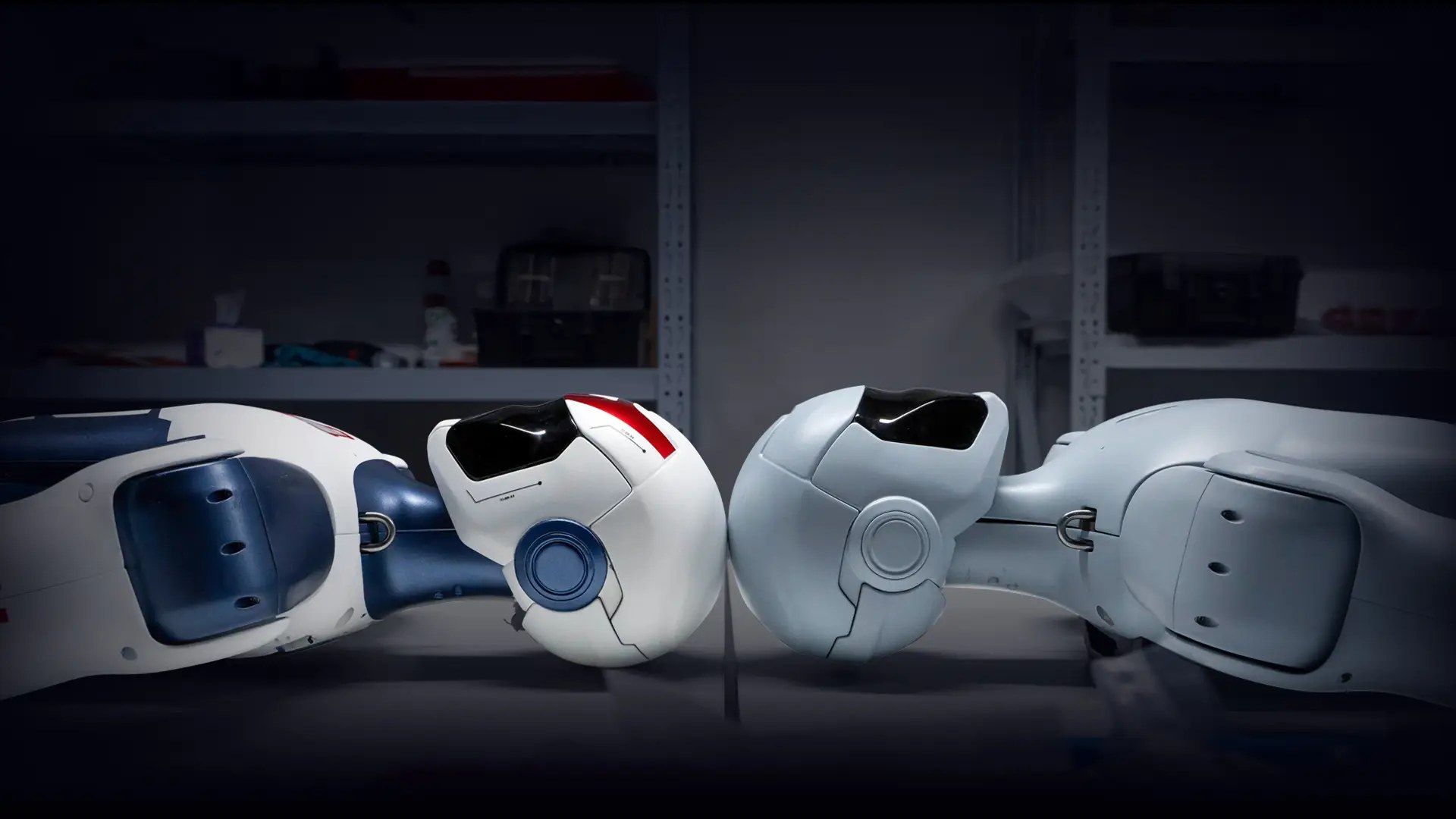
The Unitree 4D LiDAR L2
The Unitree 4D LiDAR L2 is the sensor that gives the Go2 quadruped and other Unitree platforms their environmental awareness. Its headline characteristics:
- 360°×90° ultra-wide field of view — near-total awareness around the robot, eliminating the blind spots that plague narrower sensors
- 230g weight — light enough to mount on a mobile robot without significantly affecting agility or battery life
- Built-in IMU — an integrated inertial measurement unit provides motion compensation, keeping the point cloud accurate even while the robot is moving dynamically
- Robotics-optimised — purpose-built for robotic perception rather than adapted from automotive or surveying applications
The earlier Unitree 4D LiDAR L1 is also available as a standalone sensor. Both are integrated into the Unitree ecosystem and can be purchased separately for custom robotics, drone, and autonomous-vehicle projects.
Do You Always Need 4D?
Honest answer: not always. For a robot operating in a simple, static indoor environment, 3D positional data may be entirely sufficient. The richer data of 4D LiDAR earns its value in complex, dynamic, or safety-critical environments — outdoor navigation, operation around people and vehicles, varied surfaces, and changing conditions. The good news is that on platforms like the Unitree Go2, the 4D LiDAR L2 is standard, so the question is academic for most buyers: you get the richer sensing whether your immediate use case demands it or not, and it future-proofs the platform as your applications grow.
The Short Version
LiDAR uses laser pulses to measure distance and build a point cloud of the world. 3D LiDAR captures the shape of that world — the X, Y, Z position of every point. 4D LiDAR adds a fourth layer of richer per-point data, typically intensity/reflectivity and often velocity or temporal information, telling a robot not just where surfaces are but something about what they are and how they move. For autonomous robots operating in real, dynamic environments, that fourth dimension is the difference between seeing the world and understanding it.
If you are integrating LiDAR into a robotics, drone, or autonomous-vehicle project — or choosing a Unitree platform and want to understand the sensing — get in touch. MCM Robotics is the official Unitree reseller in South Africa, and we can advise on the right sensor and integration approach for your application.
Frequently Asked Questions
What is a 4D LiDAR sensor?
A 4D LiDAR sensor measures the three spatial dimensions of a scene (X, Y, and Z — the 3D point cloud) plus a fourth dimension: the intensity or reflectivity of each returned laser point, and in many designs the time-based velocity and richer return data. The fourth dimension adds information about what a surface is made of and how it is moving, not just where it is — giving robots a far richer understanding of their environment than position alone.
What is the difference between 3D and 4D LiDAR?
3D LiDAR captures the shape of an environment as a point cloud — the X, Y, and Z position of every point a laser pulse hits. 4D LiDAR adds a fourth layer of data to each point: intensity/reflectivity (how strongly the surface reflected the laser), and in advanced systems velocity and temporal data. Where 3D tells a robot the shape of the world, 4D also tells it something about the material and motion of what it is seeing.
Is the fourth dimension in 4D LiDAR time?
It depends on the manufacturer's definition. In many robotics contexts, the fourth dimension refers to intensity or reflectivity data captured per point. In other contexts it refers to the temporal dimension — capturing how the point cloud changes over time, which enables velocity estimation. Some systems mean both. The key point is that 4D LiDAR captures richer per-point information than a pure 3D positional point cloud.
What 4D LiDAR does the Unitree Go2 use?
The Unitree Go2 uses the Unitree 4D LiDAR L2, which provides a 360°×90° ultra-wide field of view in a 230g package with a built-in IMU for motion compensation. The L2 is integrated into the robot head and gives the Go2 comprehensive environmental awareness for autonomous navigation, obstacle avoidance, and SLAM mapping. The earlier L1 is also available as a standalone sensor.
Why does 4D LiDAR matter for autonomous robots?
The richer per-point data in 4D LiDAR helps robots distinguish between surfaces that look geometrically similar but behave differently — for example, telling a reflective wet floor from a dry one, or a solid obstacle from light vegetation. This improves obstacle classification, navigation reliability, and the quality of SLAM maps, which directly translates into more capable and safer autonomous behaviour.
Can I use a 4D LiDAR sensor on my own robot or drone?
Yes. The Unitree 4D LiDAR L1 and L2 are available as standalone sensors through MCM Robotics, pre-configured for easy integration with Unitree robots and supplied with documentation for custom implementations on drones, autonomous vehicles, surveying rigs, and other robotic platforms. Contact MCM Robotics for pricing and integration guidance.